If you’re planning on visiting Kelcyra Castle then you definitely want to follow this route (described below) up the mountain. In preparation for our hike, we looked at Google Maps/Earth to get an idea of the terrain and to see if the trail looked clearly marked. For the most part, it seemed like the trail was easily identifiable—we were wrong.
Due to a wrong turn, the route we ended up taking was much more difficult than it needed to be. We hope the tips below will help future hikers from deviating from the correct route up.
Sunset Stroll to Kelcyra Castle
We envisioned ourselves taking a short sunset stroll to see the ruins of Kelcyra Castle. Based on the increase in altitude and length of the trail, we estimated that it would take about 20 minutes to reach the castle.
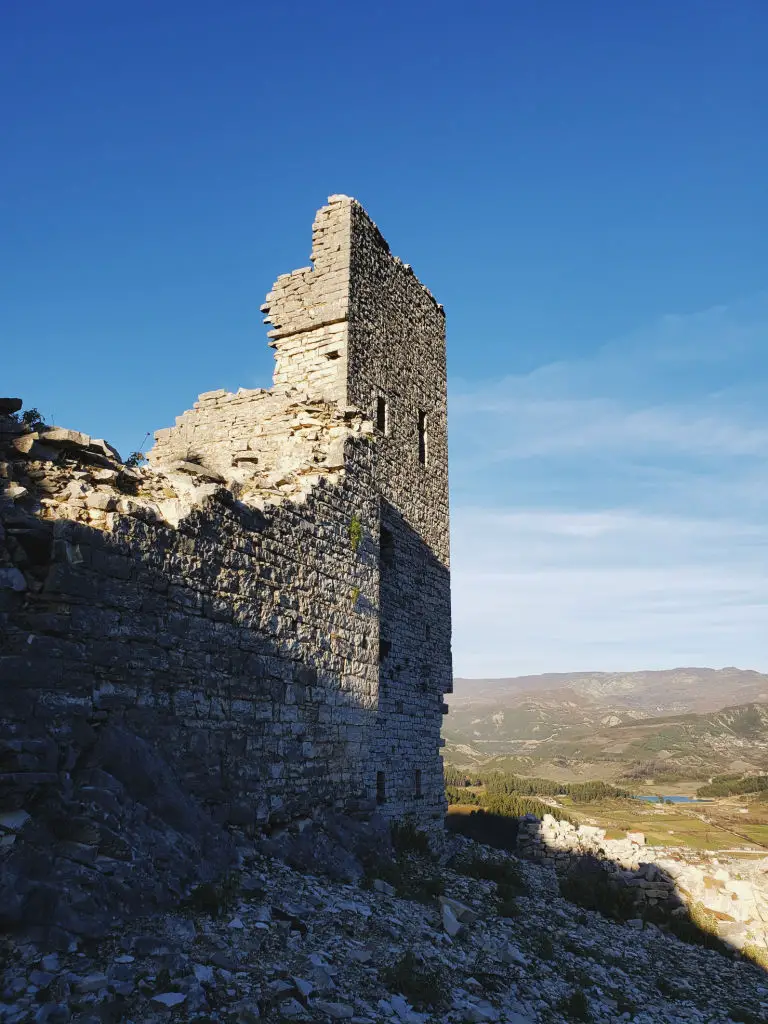
Pulling up next to the cemetery, where we parked, we noticed that this section of Trebeshina mountain has steep slopes. However, we weren’t too nervous, after all, we did the research and we had a trail map app, Maps.me.
After exiting the vehicle, we began the steady walk up a slightly steep but straight path. After about 7 minutes we came to a T and a trail marker.
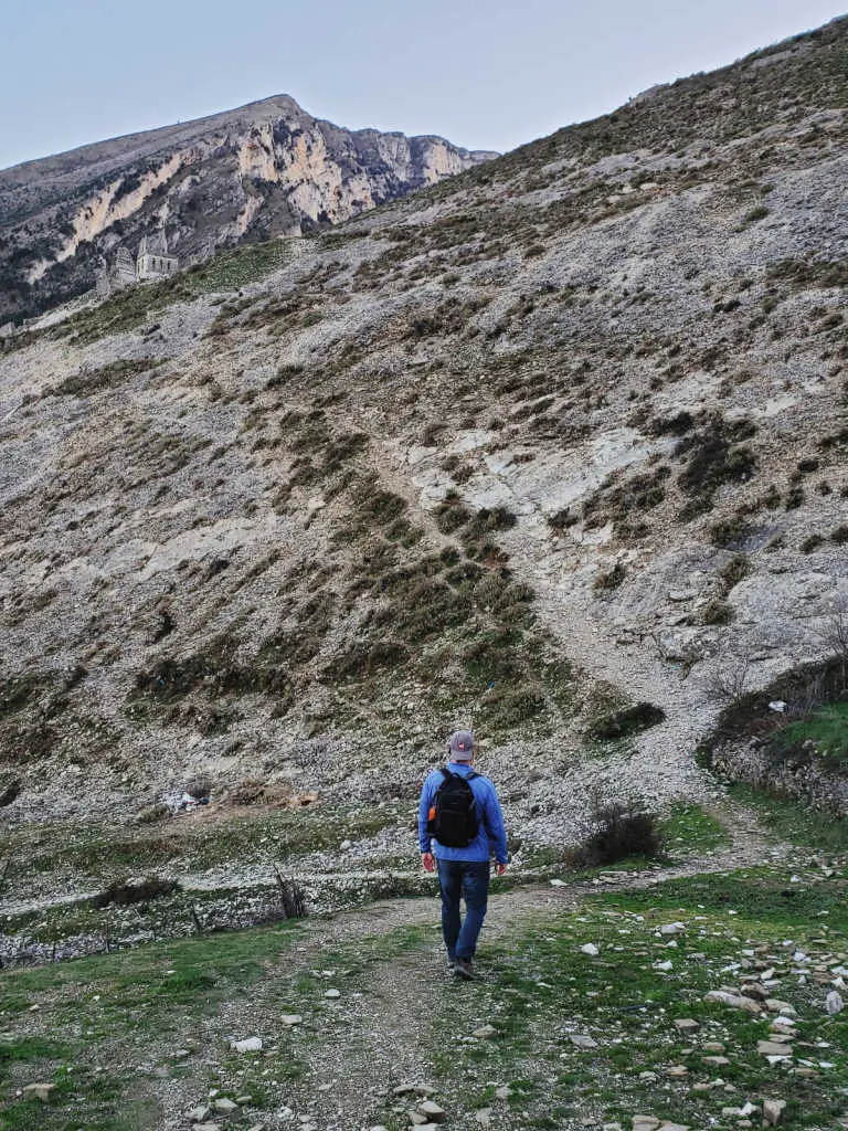
The marker oddly indicated that we were on the path but didn’t indicate if we should turn left or right. With the mountain on our left side and a house on our right, we turned left.
We Made a Mistake
Unbeknownst to us at the time, we were heading in the wrong direction. As we progressed, the trail slowly disappeared and each step became steeper, and the gravel looser.
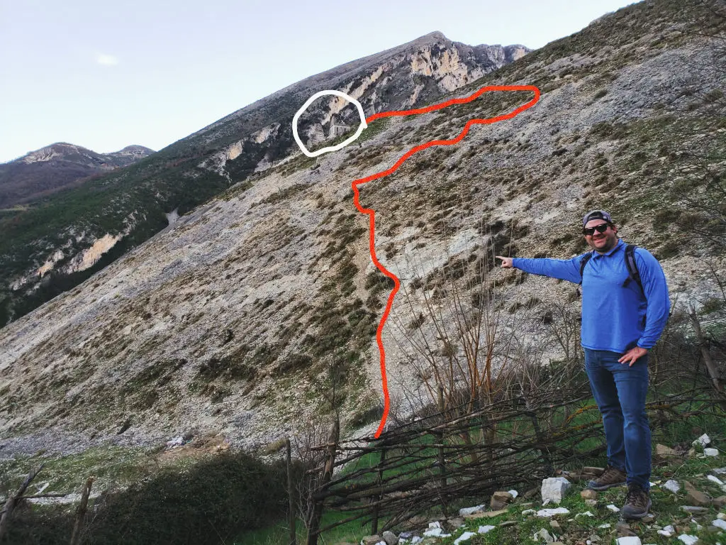
Proceeding on, our anxieties increased (especially Audrey’s), and we began contemplating whether we should simply turn around. However, we both knew at this point, going down was going to be even more challenging than going up, so we trudged on.
Also, we noticed a stone wall about 75 higher than our current position. We assumed that this was the trail, and we need to get to it. As a result, we made it our new goal to simply get to this small stone wall.
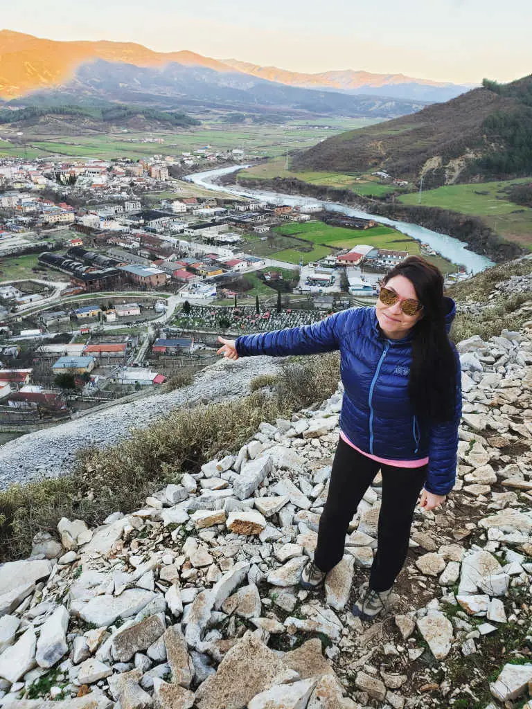
After another five minutes of climbing, we made it to the wall and the official trail. The walk from this point to the castle took about three minutes and was slightly inclined. Compared to where we came from it felt flat! After about 40 minutes, we finally made it to the castle.
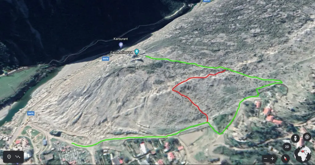
Probably, the most antagonizing part of all of this was that we could see the castle the entire time. It was right there, and yet we couldn’t locate the trail after making the wrong turn.
The Path Down
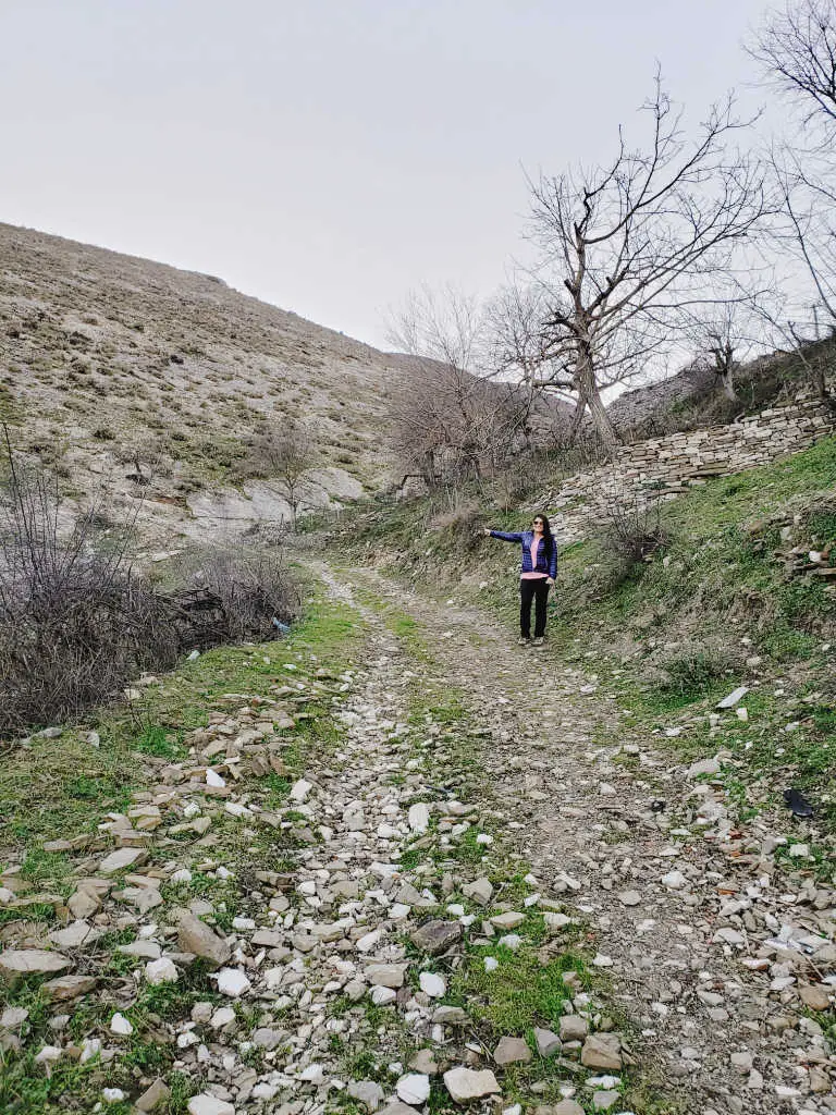
The walk down to our vehicle took about 20 minutes. It was now easy to see where we went wrong, and how we became so wildly diverted. Feeling awfully foolish, we shared a laugh. Looking back up at the steep slopes, we couldn’t believe that we went up the route that we did.
Ali Bej Kelcyra Castle (Castle Klisoura)
Constructed in the mid 19th century, by Theodore, the founder of the Këlcyra family (originally the Klisoura family), the castle was one of the largest buildings in Albania at the time. At 65,000 square feet, with eight four-story towers, a ground floor, and a basement, this must have been quite the sight to see.
As with all good things, it came to an end in 1914 when the magnificent castle was burnt to the ground by the Greeks, leaving the ruins we see today.
The Illyrian Castle of Kelcyra
The ruins of the Illyrian Castle of Kelcyra are located about a 25-minute walk from the Ali Bej Kelcyra Castle. If you have the time and daylight, it is a nice accent to the trip.
The ruins are believed to be either an ancient fort or the town of Parauej Eriboia. Moreover, the ruins of the castle show various architectural updates dating from the 3rd-4th century BC to the 19th century. While the ruins of the Illyrian castle are nowhere near as photogenic as the Kelcyra castle they do have interesting inner chambers that can be explored.
Are you going to be in Albania for awhile? Make sure to check out the best beaches in Albania before you leave.


